
Shore Resources
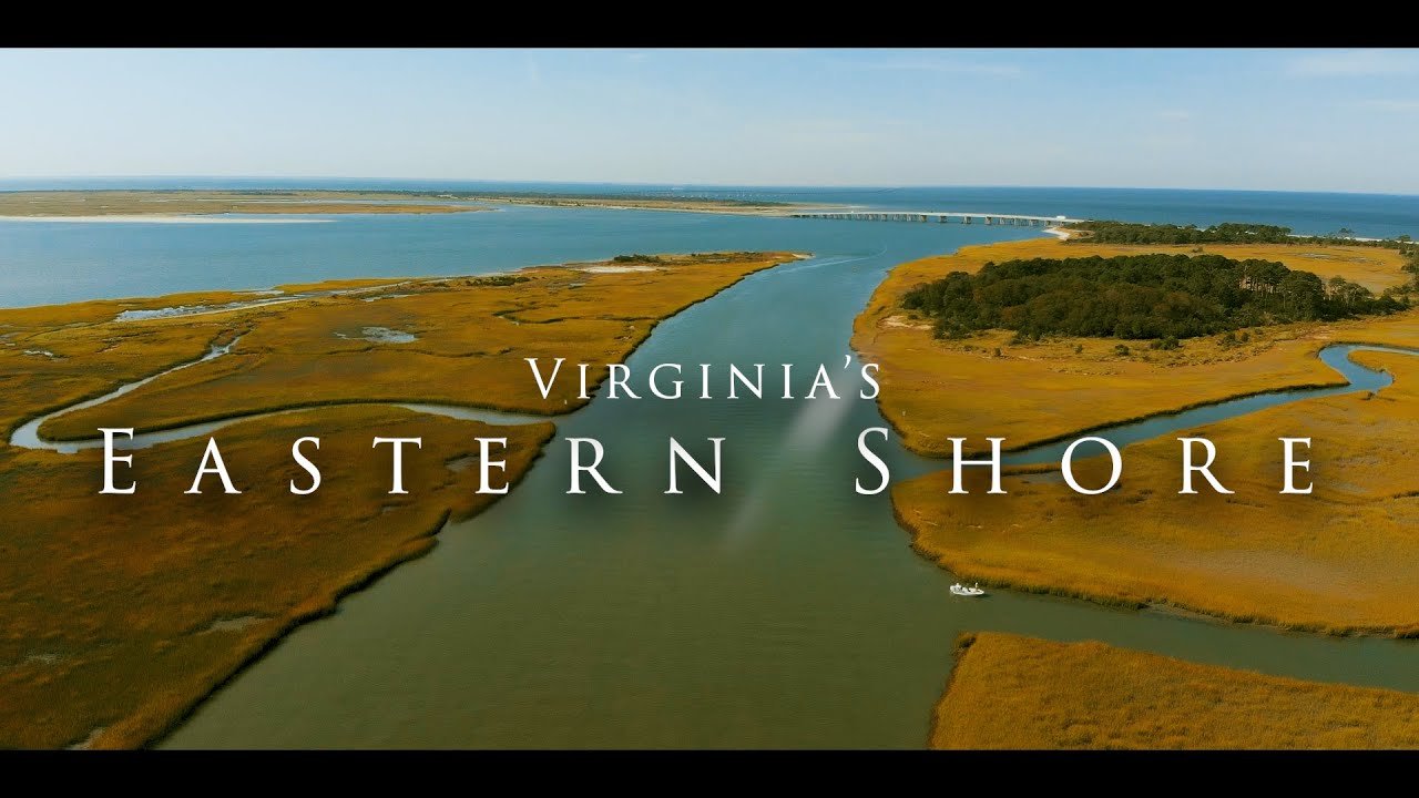
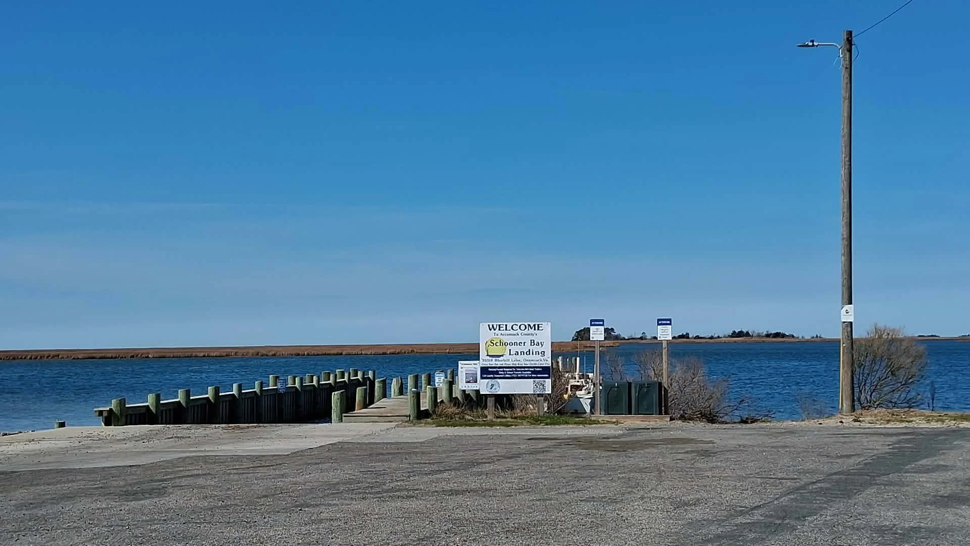
The County maintains twenty-seven water access sites for public use. The sites vary widely in size and improvements. Some sites consist only of unimproved shoreline near public roads, while others offer deep water slips and large parking areas. Overnight mooring is prohibited at most facilities. Please contact the Public Works Office for more detailed information. Use the following instructions to access site locations.
ACCOMACK COUNTY BOATING SERVICES
Name of Water Access Point Location Type of Facility
Annis Cove Boat Ramp 37°50'11.4"N 75°40'25.9"W Concrete boat ramp
23685–23613, State Route 682, with parking.
Bloxom, Virginia 23308
Behrmann Pier at Cherry Point 37°51'24.0"N 75°39'08.5"W Pier for crabbing and fishing
End of Muddy Creek Road
(Rt. 683 near Bloxom)
Broadway Landing Broadway Road Unimproved water access
Burton's Shore Seagull Ln, Onley, VA 23418 Unimproved water access
Burton Shore Road
Cattail Creek Cattail Road Unimproved water access
Mears, VA
Deep Creek Dock End of Deep Creek Road Dock with parking and no ramp
(Rt. 657 in the Village of Deep Creek)
Folly Creek Landing 37°41'40.0"N 75°37'55.1"W Concrete boat ramp and dock
Folly Creek Rd, Accomac, VA 23301 with parking
(Rt.651 near the Village of Daugherty)
Gargatha Landing 37°46'30.0"N 75°33'40.4"W Concrete boat ramp with parking
Gargatha Landing Rd, Parksley, VA 23421
(Rt. 680 near Gargatha)
Gladding Landing 37°51'30.9"N 75°38'51.8"W Concrete boat ramp with parking
24324 Gladding Landing Rd,
Mears, VA 23409
End of Gladding Landing Road
(Rt. 685 near Bloxom)
Greenbackville Harbor 38°00'23.9"N 75°23'24.2"W Two concrete boat ramps with rental slips
2118 Harbor Dr, Greenbackville, and parking
VA 23356
(Rt. 3006 in the village
of Greenbackville)
Hack's Neck 37°38'03.0"N 75°52'51.4"W Unimproved water access
30108 Killmon Ln, Hacksneck,
VA 23358
End of Killmon Lane
(Rt. 759 on Back Creek)
Hammocks Boat Ramp 37°54'23.6"N 75°41'19.4"W Concrete boat ramp and parking
788, Saxis, VA 2342
End of Hammock Road
(Rt. 788 near Sanford)
Harborton Boat Ramp 37°39'58.6"N 75°49'49.7"W Concrete boat ramp and dock with
Shore Dr, Harborton, VA 23389 parking and restrooms
Off of Harborton Road (Crabbing allowed off of commercial
(Rt. 180 in the village of Harborton) dock only)
Hunting Creek Pier 37°47'23.6"N 75°42'25.3"W Pier for crabbing and fishing with parking
State Rte 669, Parksley, VA 23421
Off Hopkins Road
(Rt. 669 near the village of Hopkins)
Johnson's Wharf 37°47'01.8"N 75°42'07.0"W Concrete boat ramp with parking
18731 Johnsons Landing Rd, Parksley,
VA 23421
End of Johnson's Landing Road
(Rt. 670 near the village of Leemont)
Kegotank Boat Ramp End of Kegotank Road Concrete boat ramp with parking
(Rt. 681 near Modest Town)
Marsh Market 37°54'47.2"N 75°38'43.3"W Unimproved water access
Marsh Market Road Hallwood, VA
Northside Chesconessex Dock 37°45'02.8"N 75°46'14.3"W Dock with limited parking and no ramp
State Rte 656, Onancock, VA 23417
End of Northside Road
Old NASA Ferry Dock 37.84282°N ‑75.52626° E Limited use concrete boat ramp with parking
31425 State Rte 730, Hallwood, and picnic gazebo
VA 23359
End of Pierce Taylor Road
(Rt. 730 near the village of Assawoman)
Parkers Creek Landing 37.727966°N, -75.608678 Concrete boat ramp with parking
State Rte 666, Parksley, VA 23421
End of Fox Grove Road
(Rt. 666 near the village of Pastoria)
Pitts Landing 37.974503, -75.630835 Concrete boat ramp and soft launch
5000 Bell Rd, New Church, VA 23415 for paddle craft with parking
End of Bell Road
(Rt. 804 near the village of New Church)
Queen Sound 37.934743, -75.419616 Concrete boat ramp with parking
37286 Chincoteague Rd, Horntown, VA 23395
Off of Chincoteague Road
(Off the Rt. 175 causeway between
Wattsville and Chincoteague)
Quinby Harbor 37.5496, -75.7316 Wide concrete boat ramp with rental slips and parking
20235 Harbor Cir, Quinby, VA 23423
Off of Harbor Point Road
(Rt. 606 in the Town of Quinby)
Saxis Bulkhead 37.903833° N, ‑75.683206° Unimproved water access
788 Saxis, VA 23427
Schooner Bay 37.9333° N, 76.9167° Concrete boat ramp with parking
Bluebill Ln & Black Mallard Way,
Onancock, VA 23417
End of Bluebill Lane
Southside Chesconessex 37°44'53.7"N 75°46'22.6"W Concrete boat ramp with parking
Southside Road & Plantation Road
Onancock, Virginia 23417
625' up Southside Road from above intersection
End of Southside Road
Young's Creek 37°49'22.5"N 75°41'06.2"W Limited-use concrete boat ramp with parking
Youngs Creek Rd, Bloxom, VA 23308
End of Young's Creek Road
(Rt. 676 near Guilford)
Northampton Boating Services
Name of Water Access Point Location Type of Facility Parking Permit Required
Cape Charles Harbor 37.2649° N, 76.0167° W Marina new bulk-heading, restrooms, No
11 Marina Road Cape Charles, VA 23310 and a bath house
King’s Creek N 37° 16.750' / W 076° 00.567'
500 Marina Village Cir, Cape Charles, VA 23310 A separate marina is accessible No
from the Chesapeake Bay via Cherrystone Inlet. The marina
has recently been rebuilt and expanded into a luxury
marina with 224 slips, commercial space, rental properties,
event space, and a restaurant.
Kiptopeke State 37°10′9″N, 75°58′45″W fishing pier and a boat ramp with 4-5 foot depth at mean
Park Boat Ramp 3540 Kiptopeke Dr low water and parking for 70 boat trailers.
Cape Charles, VA 23310 Restrooms and showers available as well.